
A person in front of the property — photographed and rated. Matched to its full parcel record. Any county. Delivered the day it's driven.
The difference
Anyone can send someone to take a picture. What comes back is a structured judgment on the property, not a snapshot. Every parcel arrives matched to its record, its boundary and its condition. Every rating is scored against a fixed rubric, not a subjective glance. Occupancy, vacancy and distress are confirmed on the ground — never assumed from a mailing address that may be years out of date. Values, ownership and sale history ride alongside the photograph, not a separate lookup you run yourself. Assembled from authoritative public sources. Verified in the field. In every county we cover.
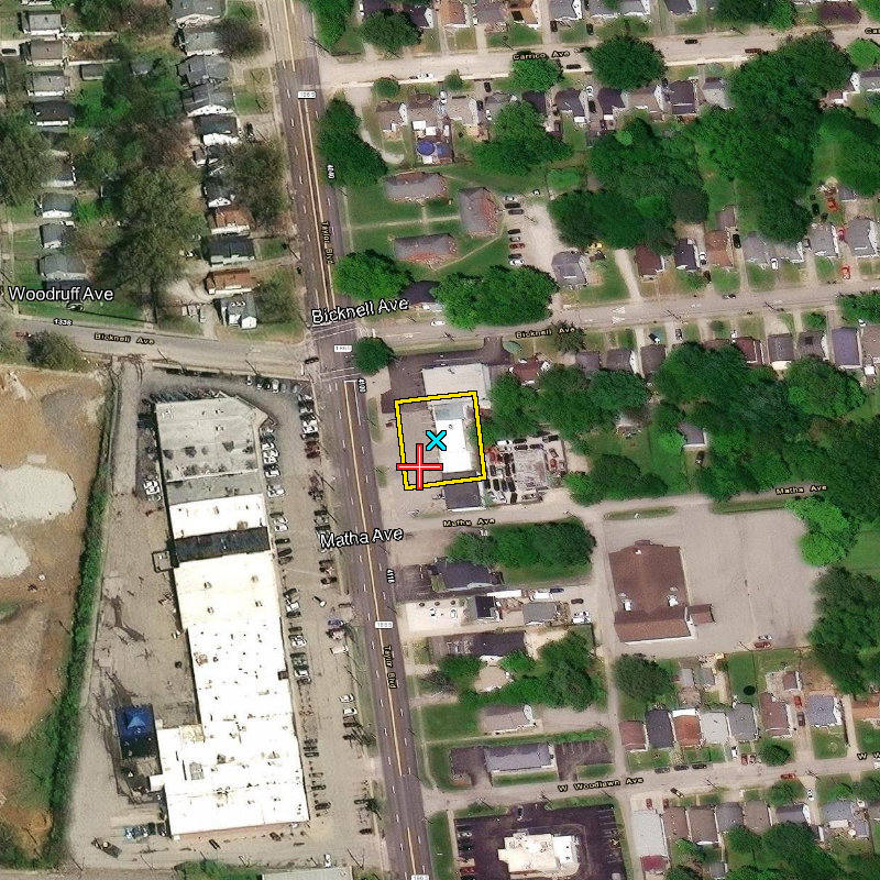
And that is before the rating even happens. Six factors, scored and confirmed on every single visit:
Exterior condition, roof, siding, visible damage, general upkeep — scored 0–5 in half-point increments against a fixed economic baseline. Same scale, every property, every county.
Road frontage, comparable structures nearby, whether the surrounding land reads residential, operating-commercial or vacant — each pulls the scale differently. A strong house on a declining street never scores like the identical house two blocks over.
Occupied, vacant or unoccupied — determined on the ground, not assumed from a mailing address that may be years out of date.
Boarded, burned or abandoned — flagged explicitly on every visit, not left for someone to infer from a photo later.
Assessed and market value, last sale amount and date, tax status — matched to the parcel and delivered alongside the rating, not a separate lookup.
Owner and taxpayer of record, names and mailing addresses — cross-checked against the occupancy call made in the field.
Who uses it
Six industries. One identical requirement: physical confirmation of what's actually there.
Condition on every parcel in a sale — before the bid. Our home ground for 25 years. Entire county lists driven to deadline.
Dated photographic violation evidence on a recurring sweep. Same standard. Every address. Every time.
Systematic coverage instead of complaint-driven. Every property in the district documented — not only the ones somebody called about.
Pre-bind condition. Post-event assessment. Parcel record attached. Photographs timestamped to the day of the visit.
Reassessment support. Land-use verification. Vacancy studies — for the jurisdiction that holds the records but has never seen the ground.
Occupancy and condition across a portfolio. On a schedule. Without dispatching a separate vendor for every address.
How it works
Parcel numbers are enough. We match every one to its record and build the route before anyone gets in a vehicle.
Photographed on the ground. Rated as we go. We cover the whole county — you buy a share of a pass, not a truck roll to one address.
Results appear in your own folder as the work happens. Photographs by parcel. Ratings and the full record in one file.
Coverage
Active field coverage today. New counties stood up as clients need them.
A county, a portfolio or a single district — we'll tell you plainly what it takes and what it costs.